30 days refund guarantee
Popular Books by Collins Maps
View All Books by Collins Maps
Collins Primary Atlas :Ideal for Learning at School and at Home - Collins School Atlases
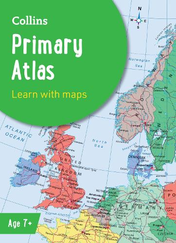
Collins Primary Atlas :Ideal for Learning at School and at Home - Collins School Atlases
paperback
Published:
13 February, 2025
paperback
Published:
13 February, 2025
Description
The must-have atlas for children aged 7-11
Collins Primary Atlas is a great introduction to mapping of the UK, Europe and all major regions of the world. It supports the Key Stage 2 curriculum and is suitable for children aged 7-11 years.
This new, fully up-to-date edition includes information on map reading skills, the meaning of scale and measuring distances, and is ideal for classroom use or home learning.
Reference maps:
• Informative, politically coloured and easy-to-read
• National capitals and major cities are clearly labelled
• Maps are supported with national flags and basic national statistics
Continental maps:
• Linked to regional mapping
• Supported by a selection of aerial and terrestrial photographs
• Relief maps show layer colouring and highlight major physical features
This atlas is also available in a eBook format. The next atlas in the series is the Collins School Atlas, suitable for ages 11+ and KS3.
More Details
| Type | Book |
|---|---|
| ISBN13 | 9780008716516 |
| ISBN10 | 000871651X |
| Number Of Pages | 68 |
| Item Weight | 280 g |
| Product Dimensions | 226 x 312 x 6 mm |
| Publisher / Reseller | HarperCollins Publishers |
| Format | paperback |
| Edition | 8th Revised edition |
See More +
Media Reviews
"I highly recommend picking this one up." –Our Everyday Harvest, review of previous edition
Author's Bio
Explore the world through accurate and up-to-date mapping.