30 days refund guarantee
Collins Children’s World Wall Map :An Illustrated Poster for Your Wall
Collins Children’s World Wall Map :An Illustrated Poster for Your Wall
other
Published:
16 May, 2019
other
Published:
16 May, 2019
FREE Delivery by
Thu, April 9 - Fri, April 10
Order within
0
Eligible for Express Delivery by
Wed, April 8
Order within
0
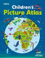
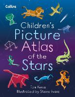
Popular Books by Steve Evans
View All Books by Steve Evans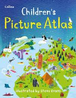


Description
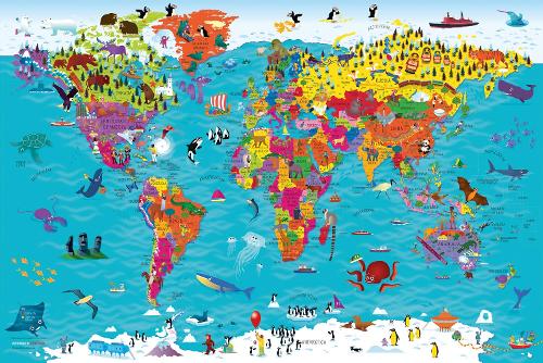
Beautifully illustrated wall map for inquisitive kids
Colourful Illustrated Map of the World
This bestselling, highly illustrated pictorial map is designed to take children on a journey of discovery around the countries of the world. The mapping is up-to-date, colourful and highly informative and shows countries and capital cities.
Stunning illustrations are used to depict themes such as national emblems, customs, food, birds, animals, buildings and sports to help younger readers gain an understanding of the world.
Dimensions 610 X 915 mm / 24 x 36 inches
Illustrated by Steve Evans.
Now with barcode removed due to popular demand from our customers.
More Details
| Type | Book |
|---|---|
| ISBN13 | 9780008319793 |
| ISBN10 | 0008319790 |
| Number Of Pages | 1 |
| Item Weight | 20 g |
| Product Dimensions | 900 x 600 x 30 mm |
| Publisher / Reseller | HarperCollins Publishers |
| Format | other |
| Edition | 2nd Revised edition |
See More +
Author's Bio
Steve has many years professional experience of collaborative practice with the major educational publishers, editors, in-house designers and authors.
His creative practice includes illustration, logo design, cover design and full series design including online resource.
His primary passion is for children’s illustration and this is demonstrated in his creation of the new Collins Picture Atlas alongside the accompanying World Map and, more recently, the map of the United Kingdom & Ireland.